
The Route Comparison screen lets you visualise multiple planned routes at the same time on a map interface.
This can help you visualise the difference in distance of runs, see where there are any route crossovers, see any stops that may make sense to be moved to a different run, or even identify any nearby unplanned orders that can be added to the run.
Comparing planned routes
To compare your planned routes:
- Click ‘Advanced Planning’ in the main menu
- Filter your ‘Runs’ list to display only the runs you wish to compare
- Click ‘Actions’ > ‘Routes’ to open the ‘Route Comparison’ window
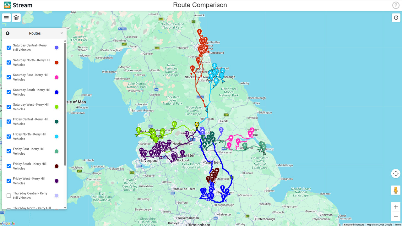
- Ensure all the routes you wish to compare are selected in the ‘Routes’ panel. Each route has its own unique colour, which is reflected in the Routes panel and on the map. The ‘Map’ icon back in Advanced Planning will also be displayed in the same colour as long as you have the Route Comparison window open.
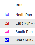
- Hover over a route in the ‘Routes’ panel to highlight it on the map. This will dim all other roots to make the hovered run stand out.
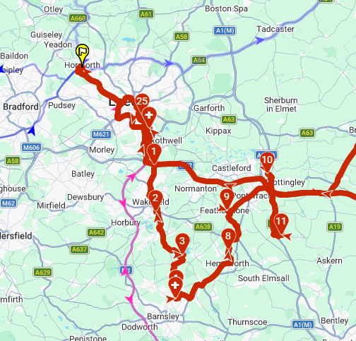
- Hover over a numbered stop map pin on a route to view a summary of the stop details
You can drag the ‘Routes’ panel around the map to position it more conveniently for yourself. If at any point you close the panel, you can reopen it by clicking the ‘Routes Menu’ button in the top left.
Route Comparison map settings
You can adjust several map settings on the Route Comparison screen by clicking the ‘Layers’ button in the top left.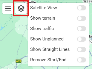
- Satellite View: Shows the map as detailed satellite imagery instead of the default plain style
- Show terrain: Shows elevation levels of terrain on the map
- Show traffic: Shows real-time traffic visualisation for roads visible on the map
- Show Unplanned: Displays the currently filtered ‘Unplanned’ orders from the Advanced Planning screen on the map alongside the planned routes. These are displayed as light blue pins, which do not contain stop numbers.
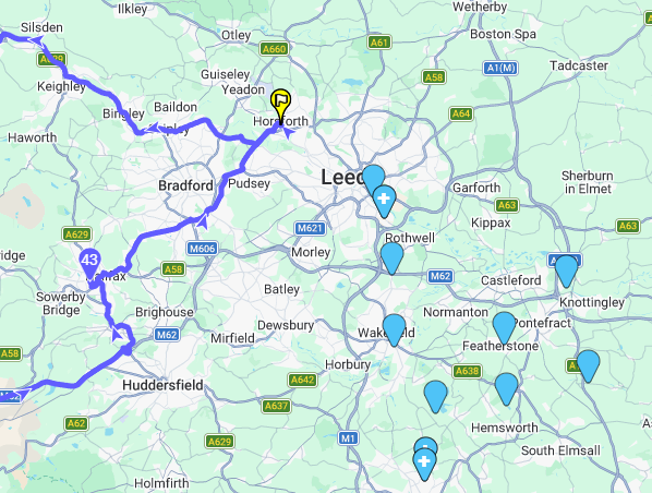
- Show Straight Lines: Changes route paths to show straight lines between stops, to provide a geodesic (‘as the crow flies’) visualisation of routes.
- Remove Start/End: Hides the route path between the starting location and the first stop, and the last stop and the ending location, to display purely stop-to-stop routes.